Menu
ESI Stories
Layers of Sustainability in Rio de Janeiro
A MITASC story contributed by Jack Reid
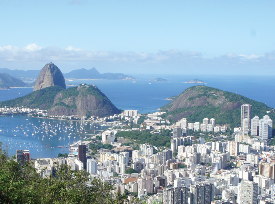
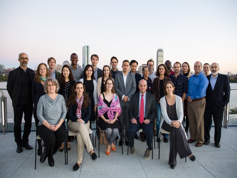
 Howdy from Brazil! I’m Jack Reid, a graduate student in the Space Enabled group at the Media Lab. As I write this, I am in the Laranjeiras neighborhood of Rio de Janeiro, about a five minute walk from Instituto Periera Passos (IPP), one of my two research collaborators in the city (the other being the Laboratório Espaço group at the Federal University of Rio de Janeiro, about a thirty minute bus ride away). We are a multidiscplinary team working to bring remote sensing (i.e. earth observation satellites and aerial imaging) to bear on mangrove conservation in the city. We have cartographers who are experts at mapping both plants and people, biologists and oceanographers who are intimately familiar with mangrove behavior, human geographers studying the relationship of people with the mangroves, and me, who is trying to put all of these together in a type of scenario-planning/forecasting model that policymakers can use to game out different solutions.
This project is one of many that the Space Enabled group is working on as part of our mission to advance justice in Earth’s complex systems using designs enabled by space. A big part of justice is sustainability and one of the chief “designs enabled by space” are earth observation satellites. Many of these satellites are designed by scientists and for scientists. While practical applications are common, they typically follow after the scientific purpose, require significant investment of expertise (such as cooperation with NASA), and are at the national or international scale. With the dawn of “the new space age” (as some have called the present day), the satellite data is rapidly advancing in terms of resolution (spatial, temporal, and spectral) and availability. What we at Space Enabled hope to do is (a) move some of that data from being merely available to being readily accessible at the local level, as well as (b) start putting the design of these satellites into the hands of those who will actually be using the data.
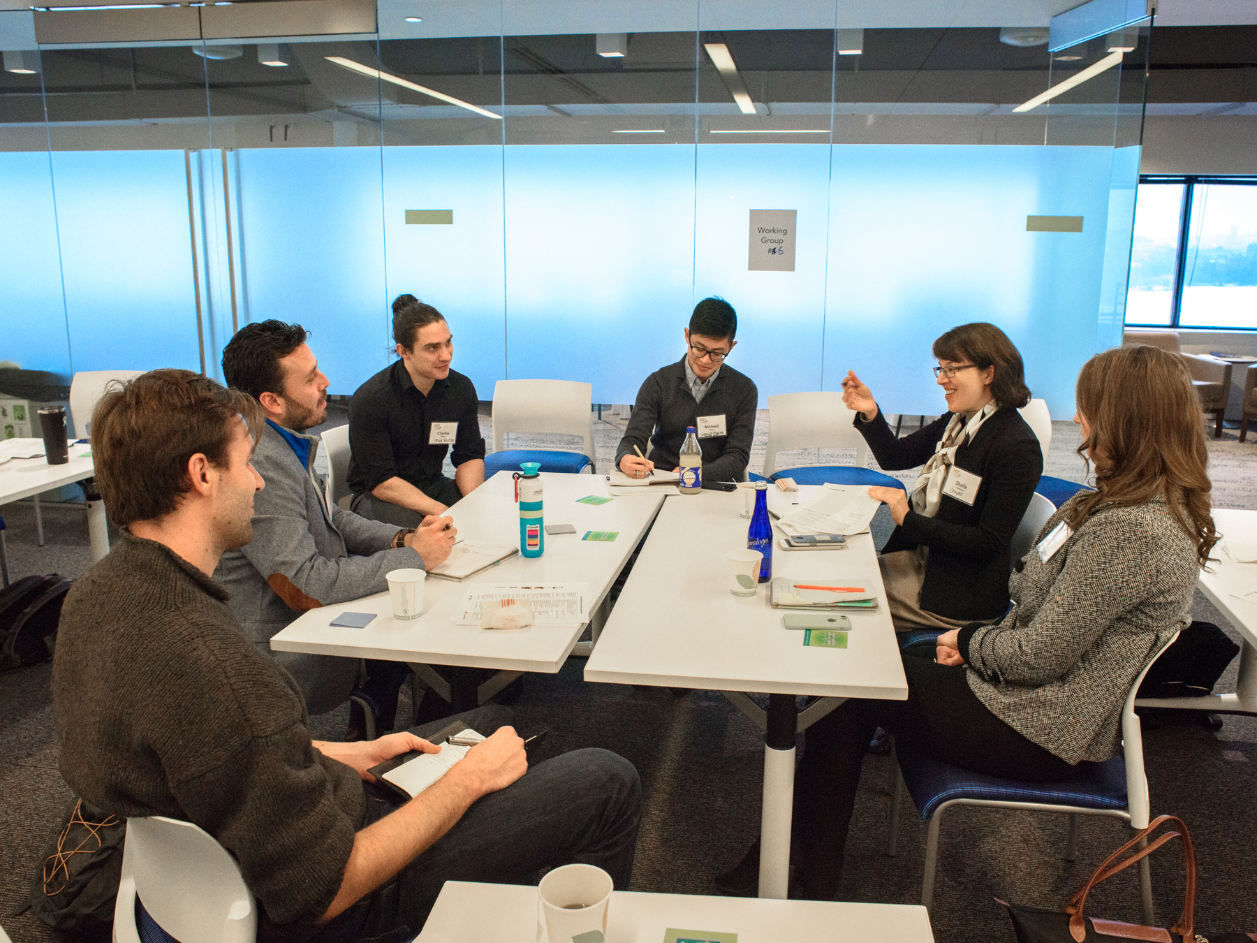
One way we are working to make this happen is to build scenario planning models that use remote observation data. By scenario planning, we just mean getting policymakers together in a room, presenting them with a situation, and asking them what decisions they would make. We then input these decisions into the model, forecast out the results one, two, five years down the line, present this information, and then ask them to make another decision. After a few rounds, we can rewind back to the beginning and try out different choices. Here in Rio, those decisions may center around the designation of protected conservation areas, the zoning of new areas for development, or the expansion of transportation networks. In this way, the policymakers can get a feel for how their decisions may play out. But we can do more than that. We can run this model (or play this game, if you would prefer), while presenting the policymakers with information from different satellites. Maybe we run it a couple of times with the free, government data from NASA. Then we see how helpful is the commercial data from companies like Planet and DigitalGlobe. Then maybe we turn off satellite data entirely and they have to make due with decennial census data and periodic surveys. Now the policymakers can see how useful different data from different satellites are. Maybe the government satellites are good enough. Maybe Planet’s data is worth the extra dollar. They can make that decision themselves. After that, we can go one final step further and help them make another decision: should I roll my own? Satellite design, manufacturing, and launch is cheaper than ever, and it’s only getting cheaper. By mocking up a custom satellite, policymakers can see if their case warrants a custom platform. Maybe the city of Rio de Janeiro wants to go talk to INPE (the Brazilian space agency) about getting a satellite up in orbit.
This is an ambitious goal, to be sure. And it’s only remotely possible due to the existing expertise and infrastructure here in Rio already. The city has made great efforts to systematically collect data, organize it, and make it useful, as can be seen on the Data.Rio website (which is run by IPP). The Espaço group has extensively mapped and studied mangroves, both in the city of Rio de Janeiro and in other parts of Brazil as well. There is also significant interest within the Rio city government to take action to protect their natural environment. The city has both a Sustainable Development Plan and a Climate Change Adaptation Strategy in addition to its more regular urban development plans. And they have of course graciously allowed me to meet and work with a variety of government officials in addition to conducting field visits.
 Brazil is different than much of the US with this extensive environmental focus at the municipal level. This is the case partly because the Brazilian constitution has an entire chapter about the environment, which, among other things, holds all levels of government (federal, state, and municipal) responsible for protecting the environment. This leads to layers of protection and multiple potential avenues to protect the natural environment (the city of Rio de Janeiro, the state of Rio de Janeiro, and the Brazil federal government each maintain their own endangered species list, for instance). The municipal SMAC, the state INEA, and the federal ICMBio all maintain protected areas in the city, monitor the environment, and have licensing requirements for certain new developments. This multi-layered approach is particularly useful when some levels of government end up prioritizing the protection of the environment less highly.
All of this is to say that I am extremely excited and optimistic about the future of sustainability in Rio de Janeiro. At a time when Brazil is (rightly) in the international press for significant environmental problems, I am comforted to see so many talented people here working hard to protect both their environment and their people.

This public reflection was produced as part of the work of the MIT Action Sustainability Corps. Learn more about MITASC here.
